Unterwegs in Hirschegg

Hirschegg mountain hut duet

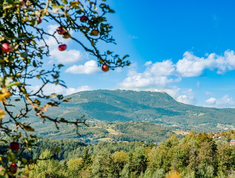
This hike takes us from Hirschegg to lofty heights, where we enjoy the mountain world of the Styrian rucksack villages. We stop off at two typical mountain huts. Idyllic alpine streams and moderate alpine pastures accompany us.

Starting from the beautiful mountain village of Hirschegg, we hike via the Pongratzwirt to the Bartholomäer-Alm, a wonderfully idyllic alpine pasture with a small church. We continue via the Saureishütte and the Hirschegger-Alm to the Bernsteinhütte and finally back to Hirschegg.

This hike is not to be underestimated: The almost 15 km and the total of 880 meters in altitude will make us work up quite a sweat. However, we enjoy a wonderful alpine landscape and experience a hike that we will remember for a long time to come.

Rating

Condition
Technique
Experience
Landscape
Season
January
February
March
April
May
June
July
August
September
October
November
December

Facts

More

  • Süd-Autobahn A2 - Abfahrt Modriach
  • Modriacher Landesstraße Richtung Hirschegg
  • In Hirschegg angekommen biegen wir links Richtung Kirche ab
  • Nach einem kurzen Stück bergauf, sehen wir rechts die Pfarrkirche zur Hl. Maria und auch das Ortszentrum von Hirschegg.
Our hike begins in the center of Hirschegg. From here, we follow a well-marked path no. 540 to the Pongratzwirt, where we can take our first break after the first ascent.


From the Pongratzwirt, we continue above the buildings. Hiking trail no. 540 takes us uphill but makes good progress. We hike through a beautiful high forest, reach the Franzlhütte (no catering: private property) and are repeatedly surprised by beautiful views.

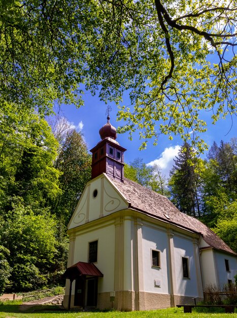
After a total of just under 6 km, we reach the Bartholomäer-Alm. A short stop here is well worthwhile. Take a walk to the little church, enjoy the beautiful alpine pastures and let your mind wander before taking the forest path to the Saureis hut (if you wish, you can also take a short detour via the Seiner cross).


Once we reach the Saureishütte at 1,620m, it's time to take a break before continuing on hiking trail no. 45. This path takes us to the Hirschegger Alm, where it joins the long-distance hiking trail 505. We now follow this path in the direction of Pack. For approx. 2.5 km we now hike along this alpine ridge, which offers a wonderful panorama of Carinthia and Styria. The path runs slightly downhill and we also pass impressive rock formations, so-called ovens.

Once we reach the Saureishütte at 1,620m, it's time to take a break before continuing on hiking trail no. 45. This trail takes us to the Hirschegger Alm, where it joins the long-distance hiking trail 505. We now follow this path in the direction of Pack. For approx. 2.5 km, we now hike along this alpine ridge, which offers a wonderful panorama of Carinthia and Styria. The path runs slightly downhill and we also pass impressive rock formations, so-called ovens.


After a total of just over 11 km, we reach the second mountain hut in our duet, the Bernsteinhütte. We take another break here before setting off along hiking trail no. 41 back to Hirschegg.


This path is moderately downhill and we make good progress on the gravel path that runs through a forest. The last section takes us across a somewhat steeper meadow, the former ski slope of the Hirschegg village lifts, before we arrive back in the village of Hirschegg after a total of 16 km.

Bartholomäer-Kircherl

Steinöfen auf der Hirschegger Alm

Eine Anreise mit öffentlichen Verkehrsmitteln ist nicht möglich.
Es stehen ausreichend Parkplätze zur Verfügung.
Tourismusverband Region Graz

Messeplatz 1/Messeturm

8010 Graz

T +43 316 8075-0


www.regiongraz.at  

Picture Gallery